
Vega topographic map
Interactive map
Click on the map to display elevation.
About this map
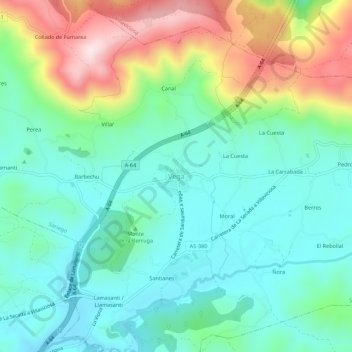
Name: Vega topographic map, elevation, terrain.
Location: Vega, Sariego, Asturies, 33518, Espagne (43.39065 -5.57828 43.43065 -5.53828)
Average elevation: 365 m
Minimum elevation: 241 m
Maximum elevation: 660 m