
Shrewbury topographic map
Interactive map
Click on the map to display elevation.
About this map
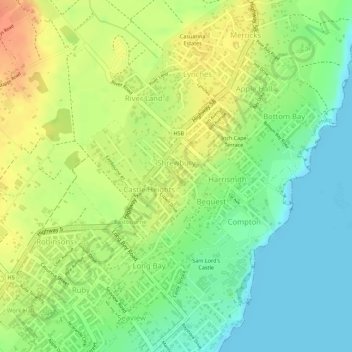
Name: Shrewbury topographic map, elevation, terrain.
Location: Shrewbury, Saint Philip, Barbados (13.13209 -59.43642 13.13776 -59.43292)
Average elevation: 24 m
Minimum elevation: 0 m
Maximum elevation: 48 m
Other topographic maps
Click on a map to view its topography, its elevation and its terrain.