
Mouila topographic map
Interactive map
Click on the map to display elevation.
About this map
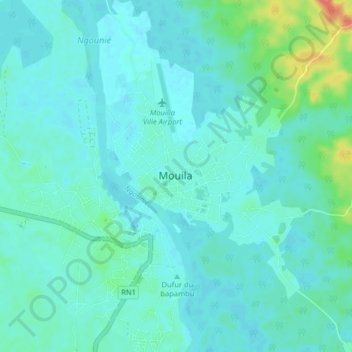
Name: Mouila topographic map, elevation, terrain.
Location: Mouila, Ngounié Province, Gabon (-1.90281 11.01881 -1.82281 11.09881)
Average elevation: 92 m
Minimum elevation: 82 m
Maximum elevation: 146 m