
Umu Enge topographic map
Interactive map
Click on the map to display elevation.
About this map
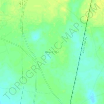
Name: Umu Enge topographic map, elevation, terrain.
Location: Umu Enge, Isiala-Ngwa North, État d'Abia, Nigéria (5.24667 7.38000 5.28667 7.42000)
Average elevation: 96 m
Minimum elevation: 87 m
Maximum elevation: 104 m