
Tha Thong topographic map
Interactive map
Click on the map to display elevation.
About this map
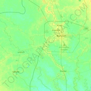
Name: Tha Thong topographic map, elevation, terrain.
Location: Tha Thong, บึงพระ, Phitsanulok Province, 65000, Thailand (16.61969 100.04670 16.93969 100.36670)
Average elevation: 43 m
Minimum elevation: 36 m
Maximum elevation: 54 m