
Schelde-Rijnkanaal topographic map
Interactive map
Click on the map to display elevation.
About this map
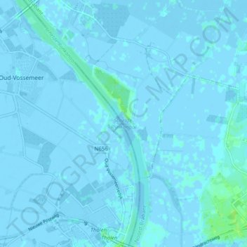
Name: Schelde-Rijnkanaal topographic map, elevation, terrain.
Average elevation: 0 m
Minimum elevation: -6 m
Maximum elevation: 8 m
Other topographic maps
Click on a map to view its topography, its elevation and its terrain.
Blauwe Sluis
Nederland > Noord-Brabant > Steenbergen
Blauwe Sluis, Steenbergen, Noord-Brabant, Nederland, 4651 RH, Nederland
Average elevation: 0 m