
Ang Thong topographic map
Interactive map
Click on the map to display elevation.
About this map
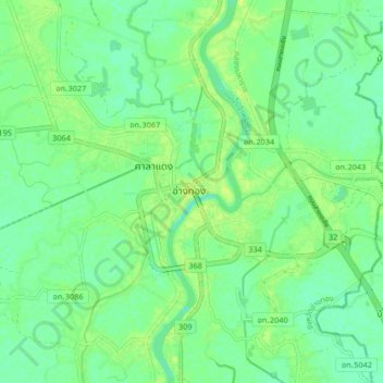
Name: Ang Thong topographic map, elevation, terrain.
Location: Ang Thong, Ang Thong Province, Thailand (14.55227 100.41195 14.63227 100.49195)
Average elevation: 9 m
Minimum elevation: 1 m
Maximum elevation: 17 m