
Perlé topographic map
Interactive map
Click on the map to display elevation.
About this map
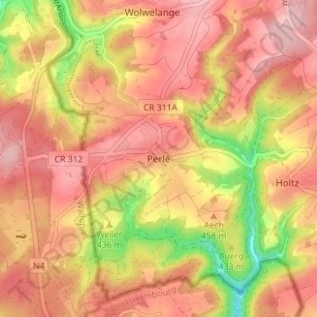
Name: Perlé topographic map, elevation, terrain.
Location: Perlé, Canton Redange, 8826, Luxemburg (49.78929 5.74511 49.82929 5.78511)
Average elevation: 450 m
Minimum elevation: 343 m
Maximum elevation: 508 m