
Pamhagen topographic map
Interactive map
Click on the map to display elevation.
About this map
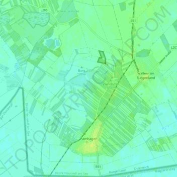
Name: Pamhagen topographic map, elevation, terrain.
Location: Pamhagen, Bezirk Neusiedl am See, Burgenland, 7152, Oostenrijk (47.68767 16.86691 47.75468 16.95934)
Average elevation: 117 m
Minimum elevation: 112 m
Maximum elevation: 125 m