
Mangar topographic map
Interactive map
Click on the map to display elevation.
About this map
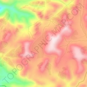
Name: Mangar topographic map, elevation, terrain.
Location: Mangar, Bokkos, Plateau, Nigeria (9.18946 8.67147 9.22946 8.71147)
Average elevation: 1,223 m
Minimum elevation: 902 m
Maximum elevation: 1,388 m