
Kibiro topographic map
Interactive map
Click on the map to display elevation.
About this map
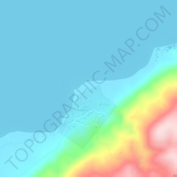
Name: Kibiro topographic map, elevation, terrain.
Location: Kibiro, Hoima, Western Region, Uganda (1.67779 31.25344 1.67789 31.25354)
Average elevation: 677 m
Minimum elevation: 615 m
Maximum elevation: 948 m
Other topographic maps
Click on a map to view its topography, its elevation and its terrain.