
La Joya topographic map
Interactive map
Click on the map to display elevation.
About this map
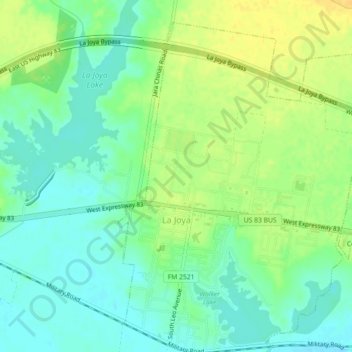
Name: La Joya topographic map, elevation, terrain.
Location: La Joya, Hidalgo County, Texas, Estados Unidos (26.23180 -98.48884 26.27197 -98.44721)
Average elevation: 48 m
Minimum elevation: 36 m
Maximum elevation: 63 m