
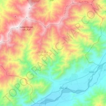
Narang Aw Badil topographic map
Interactive map
Click on the map to display elevation.
About this map
Name: Narang Aw Badil topographic map, elevation, terrain.
Location: Narang Aw Badil, Kunar, Afghanistan (34.72378 70.90017 34.87729 71.09722)
Average elevation: 1,598 m
Minimum elevation: 730 m
Maximum elevation: 2,873 m