
Freande topographic map
Interactive map
Click on the map to display elevation.
About this map
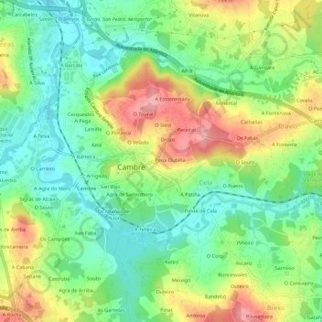
Name: Freande topographic map, elevation, terrain.
Location: Freande, Cambre, Corunha, Galiza, 15669, Espanha (43.27303 -8.35937 43.31303 -8.31937)
Average elevation: 51 m
Minimum elevation: 0 m
Maximum elevation: 128 m