
Ponton topographic map
Interactive map
Click on the map to display elevation.
About this map
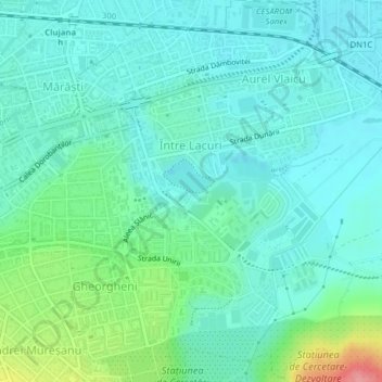
Name: Ponton topographic map, elevation, terrain.
Location: Ponton, Cluj-Napoca, Cluj, Rumania (46.77297 23.62568 46.77307 23.62590)
Average elevation: 343 m
Minimum elevation: 321 m
Maximum elevation: 420 m
Other topographic maps
Click on a map to view its topography, its elevation and its terrain.