
Провадия topographic map
Interactive map
Click on the map to display elevation.
About this map
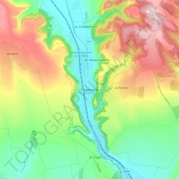
Name: Провадия topographic map, elevation, terrain.
Location: Провадия, Oblast de Varna, 9200, Bulgarie (43.13864 27.40387 43.21864 27.48387)
Average elevation: 159 m
Minimum elevation: 24 m
Maximum elevation: 357 m