
Haren topographic map
Interactive map
Click on the map to display elevation.
About this map
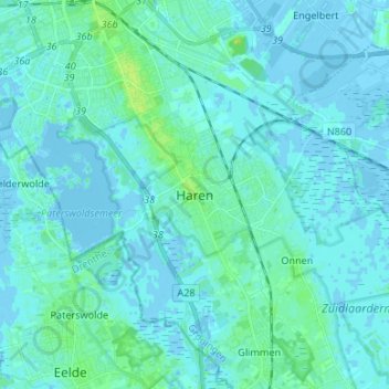
Name: Haren topographic map, elevation, terrain.
Location: Haren, Groningen, Niederlande, 9752BT, Niederlande (53.13098 6.56614 53.21098 6.64614)
Average elevation: 2 m
Minimum elevation: -5 m
Maximum elevation: 12 m