
Gefilde topographic map
Interactive map
Click on the map to display elevation.
About this map
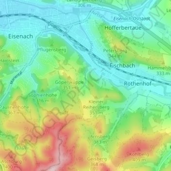
Name: Gefilde topographic map, elevation, terrain.
Location: Gefilde, Eisenach, Thuringia, 99817, Germany (50.94317 10.32349 50.98317 10.36349)
Average elevation: 292 m
Minimum elevation: 213 m
Maximum elevation: 458 m