
Ollomont topographic map
Interactive map
Click on the map to display elevation.
About this map
Name: Ollomont topographic map, elevation, terrain.
Average elevation: 376 m
Minimum elevation: 241 m
Maximum elevation: 479 m
Other topographic maps
Click on a map to view its topography, its elevation and its terrain.
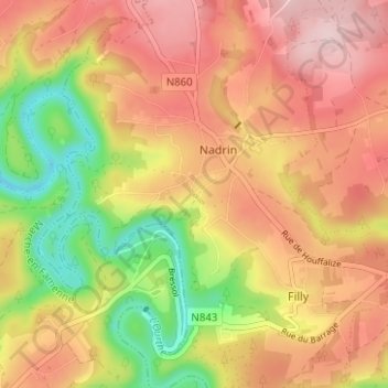
Le Lac de Nisramont
Belgique > Luxembourg > Bastogne > Nadrin
Le Lac de Nisramont, Nadrin, Houffalize, La Roche-en-Ardenne, Bastogne, Luxembourg, Wallonie, 6983, Belgique
Average elevation: 356 m