
El Porvenir topographic map
Interactive map
Click on the map to display elevation.
About this map
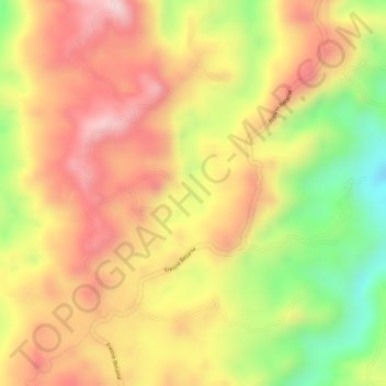
Name: El Porvenir topographic map, elevation, terrain.
Location: El Porvenir, Colombia, Fresno, Tolima, Colombia (5.21211 -75.04926 5.23211 -75.02926)
Average elevation: 1,483 m
Minimum elevation: 1,293 m
Maximum elevation: 1,610 m
Other topographic maps
Click on a map to view its topography, its elevation and its terrain.