Geolocate

Tempel topographic map

Click on the map to display elevation.

About this map

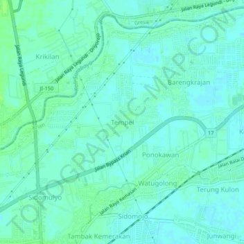
Name: Tempel topographic map, elevation, terrain.

Location: Tempel, Krian, Sidoarjo, East Java, 6162, Indonesia (-7.40761 112.57165 -7.36761 112.61165)

Average elevation: 13 m

Minimum elevation: 9 m

Maximum elevation: 19 m

Gear up for your next adventure:

🎒Hiking Backpacks - Comfortable backpacks for day hikes and multi-day treks
Altimeter Watches - Watches measuring altitude for mountain activities
🗺️Ordnance Survey Maps - Official UK maps for walking and outdoor activities
🗺️Topographic Maps - Detailed maps showing elevation and terrain features
🔪Outdoor Multi-Tools - Versatile tools for gear repairs and food prep in the wild

As an Amazon Associate, this site earns from qualifying purchases at no extra cost to you.