
Touro topographic map
Interactive map
Click on the map to display elevation.
About this map
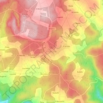
Name: Touro topographic map, elevation, terrain.
Location: Touro, Arzúa, Corunha, Galiza, 15822, Espanha (42.84720 -8.32381 42.88720 -8.28381)
Average elevation: 299 m
Minimum elevation: 139 m
Maximum elevation: 383 m