
Banneux topographic map
Interactive map
Click on the map to display elevation.
About this map
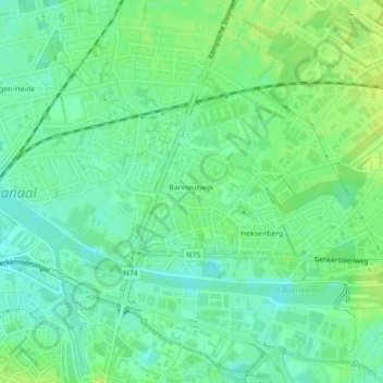
Name: Banneux topographic map, elevation, terrain.
Location: Banneux, Hasselt, Limbourg, Belgique (50.94103 5.33163 50.95520 5.37558)
Average elevation: 34 m
Minimum elevation: 26 m
Maximum elevation: 40 m
Other topographic maps
Click on a map to view its topography, its elevation and its terrain.