
Kampung Chabang topographic map
Interactive map
Click on the map to display elevation.
About this map
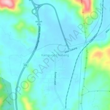
Name: Kampung Chabang topographic map, elevation, terrain.
Location: Kampung Chabang, Kemaman District, Terengganu, 24300, Malaysia (4.45365 103.38517 4.49365 103.42517)
Average elevation: 38 m
Minimum elevation: 2 m
Maximum elevation: 234 m