
Mooney Mountain Park topographic map
Interactive map
Click on the map to display elevation.
About this map
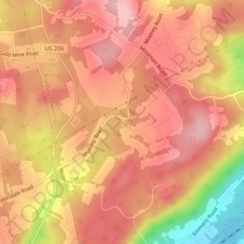
Name: Mooney Mountain Park topographic map, elevation, terrain.
Average elevation: 326 m
Minimum elevation: 219 m
Maximum elevation: 370 m
Other topographic maps
Click on a map to view its topography, its elevation and its terrain.
Roxbury Township
United States > New Jersey > Morris County > Roxbury Township
Roxbury Township, Morris County, New Jersey, 07852, United States
Average elevation: 264 m
Roxbury Township
United States > New Jersey > Morris County > Roxbury Township
Roxbury Township, Morris County, New Jersey, United States
Average elevation: 268 m