
Rogów Legnicki topographic map
Interactive map
Click on the map to display elevation.
About this map
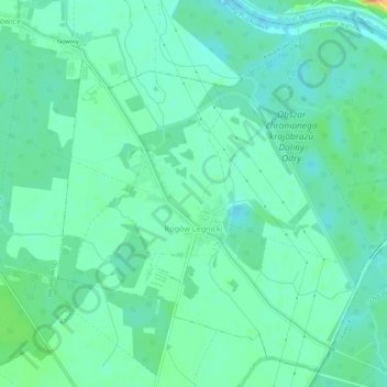
Name: Rogów Legnicki topographic map, elevation, terrain.
Average elevation: 98 m
Minimum elevation: 88 m
Maximum elevation: 124 m
Other topographic maps
Click on a map to view its topography, its elevation and its terrain.
Chojnów
Poland > Lower Silesian Voivodeship > Legnica County > Chojnów
Chojnów, Legnica County, Lower Silesian Voivodeship, 59-225, Poland
Average elevation: 153 m