
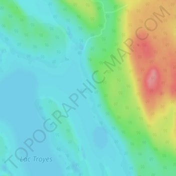
Lac Troyes topographic map
Interactive map
Click on the map to display elevation.
About this map
Name: Lac Troyes topographic map, elevation, terrain.
Average elevation: 476 m
Minimum elevation: 450 m
Maximum elevation: 542 m
Other topographic maps
Click on a map to view its topography, its elevation and its terrain.
Lac Kempt
Canada > Québec > Lac-Matawin
Lac Kempt, Chemin 45, Lac-Matawin, Matawinie, Lanaudière, Québec, Canada
Average elevation: 481 m