
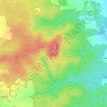
Hoher Mechtin topographic map
Interactive map
Click on the map to display elevation.
Hoher Mechtin
Lage des Hohen Mechtin im Drawehn; Darstellung u. a. mit Höhenschichten hellgrün (Bereiche unter 20 m), orange-rot (50–75 m), dunkelbraun (über 100 m)
About this map
Name: Hoher Mechtin topographic map, elevation, terrain.
Average elevation: 101 m
Minimum elevation: 62 m
Maximum elevation: 142 m