
Lý Sơn topographic map
Interactive map
Click on the map to display elevation.
About this map
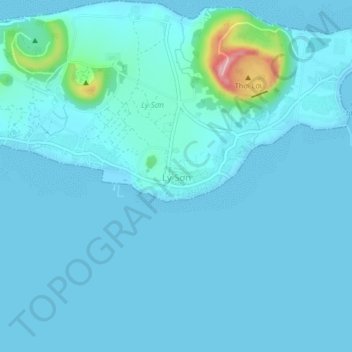
Name: Lý Sơn topographic map, elevation, terrain.
Location: Lý Sơn, Quang Ngai province, Ly Son, 54400, Vietnam (15.35198 109.10055 15.39198 109.14055)
Average elevation: 14 m
Minimum elevation: 0 m
Maximum elevation: 168 m