
Wakefield topographic map
Interactive map
Click on the map to display elevation.
About this map
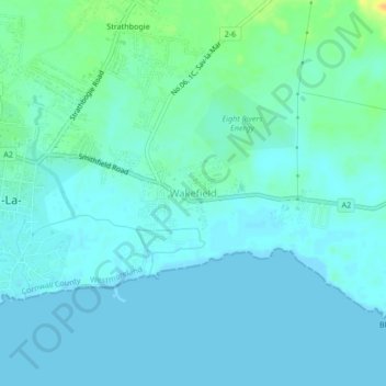
Name: Wakefield topographic map, elevation, terrain.
Location: Wakefield, Westmoreland, Cornwall County, Jamaica (18.20084 -78.13025 18.24084 -78.09025)
Average elevation: 6 m
Minimum elevation: -1 m
Maximum elevation: 30 m