
Vela topographic map
Interactive map
Click on the map to display elevation.
About this map
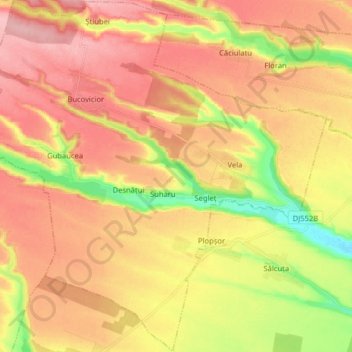
Name: Vela topographic map, elevation, terrain.
Location: Vela, Zona Metropolitană Craiova, Dolj, Roménia (44.21718 23.30302 44.33078 23.46236)
Average elevation: 182 m
Minimum elevation: 106 m
Maximum elevation: 238 m