
dhalla topographic map
Interactive map
Click on the map to display elevation.
About this map
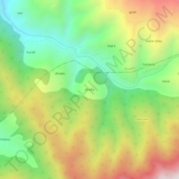
Name: dhalla topographic map, elevation, terrain.
Location: dhalla, Bhaderwah, Doda District, Jammu and Kashmir, India (33.05455 75.72303 33.09455 75.76303)
Average elevation: 2,097 m
Minimum elevation: 1,567 m
Maximum elevation: 2,812 m