
Schluecht topographic map
Interactive map
Click on the map to display elevation.
About this map
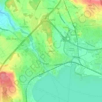
Name: Schluecht topographic map, elevation, terrain.
Location: Schluecht, Cham, Zug, 6330, Schweiz (47.16736 8.44403 47.20736 8.48403)
Average elevation: 429 m
Minimum elevation: 396 m
Maximum elevation: 488 m