
West Long Branch topographic map
Interactive map
Click on the map to display elevation.
About this map
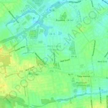
Name: West Long Branch topographic map, elevation, terrain.
Location: West Long Branch, Monmouth County, New Jersey, United States (40.27217 -74.03845 40.30486 -74.00141)
Average elevation: 11 m
Minimum elevation: 1 m
Maximum elevation: 23 m