
Rojas topographic map
Interactive map
Click on the map to display elevation.
About this map
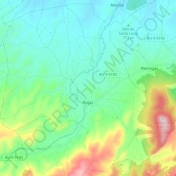
Name: Rojas topographic map, elevation, terrain.
Location: Rojas, La Bureba, Burgos, Castilla y León, España (42.55374 -3.48420 42.61270 -3.40066)
Average elevation: 756 m
Minimum elevation: 652 m
Maximum elevation: 1,040 m