
Burgum topographic map
Interactive map
Click on the map to display elevation.
About this map
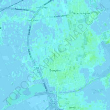
Name: Burgum topographic map, elevation, terrain.
Location: Burgum, Tytsjerksteradiel, Friesland, Niederlande (53.18298 5.95148 53.22166 6.03461)
Average elevation: 1 m
Minimum elevation: -5 m
Maximum elevation: 7 m