
Claudville topographic map
Interactive map
Click on the map to display elevation.
About this map
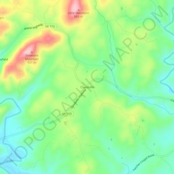
Name: Claudville topographic map, elevation, terrain.
Location: Claudville, Patrick County, Virginia, 24076, USA (36.56958 -80.43839 36.60958 -80.39839)
Average elevation: 432 m
Minimum elevation: 358 m
Maximum elevation: 562 m