
Tena topographic map
Interactive map
Click on the map to display elevation.
About this map
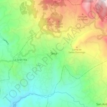
Name: Tena topographic map, elevation, terrain.
Location: Tena, Colombia (4.61547 -74.42934 4.69547 -74.34934)
Average elevation: 1,462 m
Minimum elevation: 747 m
Maximum elevation: 2,753 m