
Ouren topographic map
Interactive map
Click on the map to display elevation.
About this map
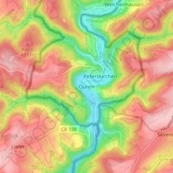
Name: Ouren topographic map, elevation, terrain.
Location: Ouren, Burg-Reuland, Verviers, Luik, Wallonië, België (50.11884 6.11380 50.15884 6.15380)
Average elevation: 428 m
Minimum elevation: 318 m
Maximum elevation: 514 m