
Calamocha topographic map
Interactive map
Click on the map to display elevation.
About this map
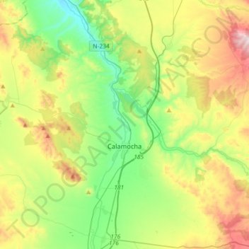
Name: Calamocha topographic map, elevation, terrain.
Location: Calamocha, Jiloca, Teruel, Aragon, Espagne (40.84484 -1.38453 41.03253 -1.09873)
Average elevation: 1,016 m
Minimum elevation: 784 m
Maximum elevation: 1,442 m
Other topographic maps
Click on a map to view its topography, its elevation and its terrain.