
Téra topographic map
Interactive map
Click on the map to display elevation.
About this map
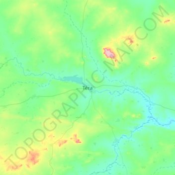
Name: Téra topographic map, elevation, terrain.
Location: Téra, Tillabéri Region, Niger (13.84727 0.59698 14.16727 0.91698)
Average elevation: 261 m
Minimum elevation: 231 m
Maximum elevation: 357 m