Geolocate

Yazali topographic map

Click on the map to display elevation.

About this map

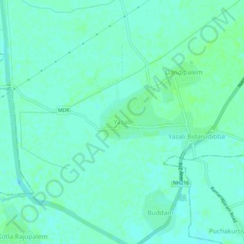
Name: Yazali topographic map, elevation, terrain.

Location: Yazali, Karlapalem, Bapatla, Andhra Pradesh, 522111, India (15.95094 80.54159 15.99094 80.58159)

Average elevation: 5 m

Minimum elevation: 1 m

Maximum elevation: 8 m

Gear up for your next adventure:

🍳Camping Stoves - Compact stoves for outdoor cooking
🔪Outdoor Multi-Tools - Versatile tools for gear repairs and food prep in the wild
👕Merino Base Layers - Natural temperature regulation for cold weather hiking and camping
📸Action Camera Chest Mounts - Record your ascent following topographic paths hands-free
Altimeter Watches - Watches measuring altitude for mountain activities

As an Amazon Associate, this site earns from qualifying purchases at no extra cost to you.