
Make a donation
Gear up for your next adventure:
As an Amazon Associate, this site earns from qualifying purchases at no extra cost to you.
Purdy topographic map
Click on the map to display elevation.
Make a donation
Gear up for your next adventure:
As an Amazon Associate, this site earns from qualifying purchases at no extra cost to you.
Purdy
US Department of the Interior Original Surveys and USGS Topographical map showing the Butterfield Overland Mail Route
Make a donation
Gear up for your next adventure:
As an Amazon Associate, this site earns from qualifying purchases at no extra cost to you.
About this map
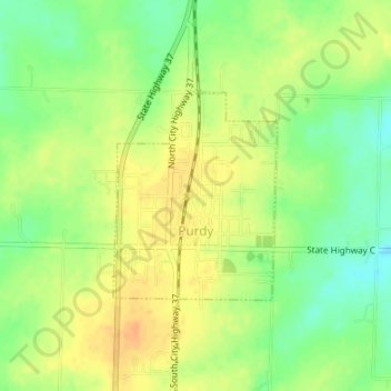
Name: Purdy topographic map, elevation, terrain.
Location: Purdy, Barry County, Missouri, 65734, United States (36.81245 -93.92789 36.82683 -93.91373)
Average elevation: 445 m
Minimum elevation: 425 m
Maximum elevation: 461 m
Make a donation
Gear up for your next adventure:
As an Amazon Associate, this site earns from qualifying purchases at no extra cost to you.
Other topographic maps
Click on a map to view its topography, its elevation and its terrain.