
Fintry topographic map
Interactive map
Click on the map to display elevation.
About this map
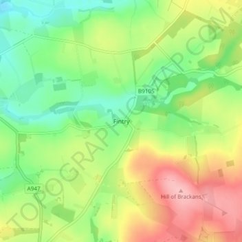
Name: Fintry topographic map, elevation, terrain.
Location: Fintry, Aberdeenshire, Scotland, AB53 5PS, United Kingdom (57.56125 -2.43162 57.60125 -2.39162)
Average elevation: 108 m
Minimum elevation: 50 m
Maximum elevation: 189 m
Scotland trails, hiking, mountain biking, running and outdoor activities