
Dabola topographic map
Interactive map
Click on the map to display elevation.
About this map
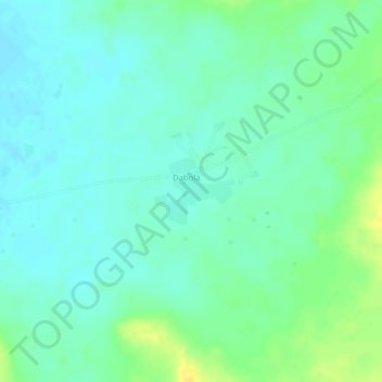
Name: Dabola topographic map, elevation, terrain.
Location: Dabola, Cercle de Tominian, Ségou, Mali (13.04046 -4.40868 13.04523 -4.40274)
Average elevation: 322 m
Minimum elevation: 313 m
Maximum elevation: 338 m