
Roermond topographic map
Interactive map
Click on the map to display elevation.
About this map
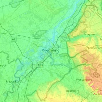
Name: Roermond topographic map, elevation, terrain.
Location: Roermond, Limburg, Niederlande, 6041HT, Niederlande (51.03017 5.83141 51.35017 6.15141)
Average elevation: 39 m
Minimum elevation: 11 m
Maximum elevation: 150 m
Other topographic maps
Click on a map to view its topography, its elevation and its terrain.