
Chandpur District topographic map
Interactive map
Click on the map to display elevation.
About this map
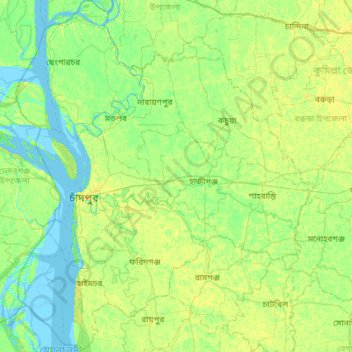
Name: Chandpur District topographic map, elevation, terrain.
Location: Chandpur District, Chattogram Division, Bangladesh (22.98900 90.53934 23.52682 91.03152)
Average elevation: 6 m
Minimum elevation: -2 m
Maximum elevation: 14 m