
Marila topographic map
Interactive map
Click on the map to display elevation.
About this map
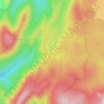
Name: Marila topographic map, elevation, terrain.
Location: Marila, Oravița, Caraș-Severin, 325605, Roménia (45.04139 21.75986 45.08139 21.79986)
Average elevation: 684 m
Minimum elevation: 381 m
Maximum elevation: 911 m