
Leveroy topographic map
Interactive map
Click on the map to display elevation.
About this map
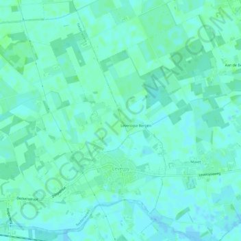
Name: Leveroy topographic map, elevation, terrain.
Location: Leveroy, Nederweert, Limburg, Niederlande (51.24093 5.79913 51.27343 5.85575)
Average elevation: 30 m
Minimum elevation: 27 m
Maximum elevation: 33 m
Other topographic maps
Click on a map to view its topography, its elevation and its terrain.
Leveroy
Niederlande > Limburg > Leveroy
Leveroy, Limburg, Niederlande, 6091, Niederlande
Average elevation: 30 m