
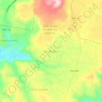
Ojo de Agua topographic map
Interactive map
Click on the map to display elevation.
About this map
Name: Ojo de Agua topographic map, elevation, terrain.
Location: Ojo de Agua, Texcaltitlán, Estado de México, México (18.95517 -99.91437 18.99517 -99.87437)
Average elevation: 2,821 m
Minimum elevation: 2,665 m
Maximum elevation: 2,977 m